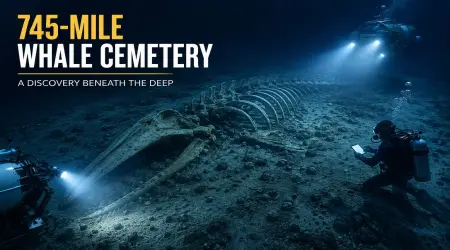
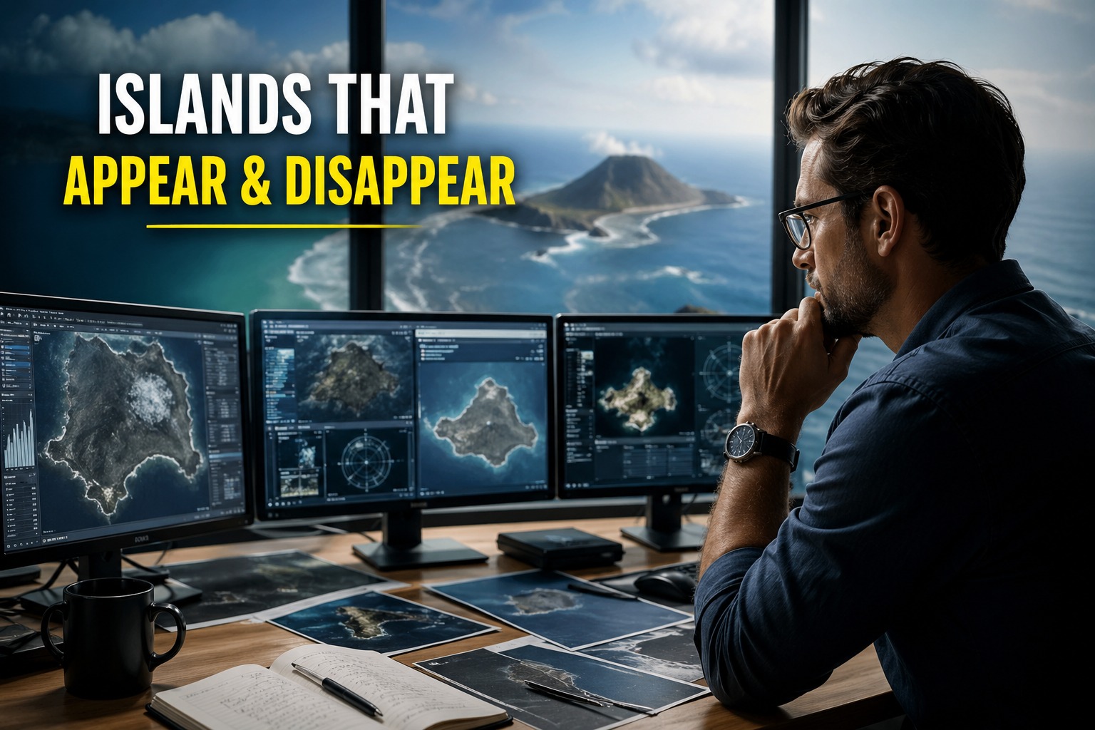
🌊 Mysterious Islands That Appear and Disappear: How Earth’s Coastlines Keep Changing and Confusing Maps
Introduction: When Land Doesn’t Stay Still
Imagine opening a map and seeing an island that wasn’t there last year. Or worse—traveling to a place marked on satellite images, only to find nothing but open sea. Sounds like science fiction, but in different parts of the world, this kind of thing actually happens.
Our planet is not as stable as it looks on maps. Coastlines shift, underwater volcanoes erupt, sediments move, and entire landforms can appear and vanish over time. This creates confusion not only for local people but also for scientists, cartographers, and satellite mapping systems.
The phenomenon of islands appearing and disappearing is a fascinating mix of geology, ocean science, and environmental change. In this article, we’ll explore how and why this happens, what causes temporary islands, and why modern maps sometimes struggle to keep up with Earth’s dynamic surface.
Understanding Earth’s Changing Geography
To understand disappearing islands, we first need to understand a simple truth: Earth’s surface is constantly moving.
Even though we think of land as fixed, it is shaped by powerful natural forces:
- Tectonic plate movement
- Volcanic activity
- Ocean currents and tides
- Erosion and sediment deposition
- Climate and sea level changes
These forces work slowly in most cases, but sometimes they act suddenly and dramatically, creating visible changes within days or even hours.
This is why maps, no matter how advanced, are always slightly outdated.
How New Islands Are Born: The Power of Volcanoes
One of the most dramatic ways islands appear is through underwater volcanic eruptions.
🌋 Submarine volcanic activity
Under the ocean floor, magma can rise through cracks in tectonic plates. When pressure builds up and erupts, lava cools rapidly in contact with seawater, forming new rock layers. Over time, these layers can build upward until they break the ocean surface.
A famous example is Surtsey Island in Iceland, which formed in 1963 after a volcanic eruption. Scientists watched it emerge from the ocean, almost like watching Earth create land in real time.
Some volcanic islands become permanent, while others are fragile and erode quickly due to waves and storms.
🌍 Why these islands matter
These new formations are important because:
- They help scientists study early ecosystem development
- They show how continents may evolve over millions of years
- They provide clues about underwater volcanic systems
However, not all new islands last long enough to become stable land.
The Vanishing Islands: Why Land Disappears
While some islands are born from volcanic activity, others simply disappear. This can happen for several reasons.
🌊 Erosion by waves and storms
Waves constantly hit coastlines and islands. Over time, this can:
- Wear away soft soil and sand
- Break down rock structures
- Gradually shrink islands until they vanish
This is especially common in low-lying sandy islands.
🌪️ Storm surges and sea-level changes
Extreme weather events like cyclones or storms can temporarily submerge islands. In some cases:
- Entire sandbanks are washed away
- Coastal shapes change overnight
- Previously visible land becomes underwater
🌍 Rising sea levels
Due to climate change, global sea levels are rising. This means:
- Some islands are permanently sinking
- Coastal regions are becoming unstable
- Small island nations are at risk of disappearing in the future
Temporary Islands: The Most Confusing Phenomenon
One of the most interesting cases is the appearance of temporary islands—landforms that exist only for a short time.
🟤 Mud volcano islands
In some regions, including parts of the Arabian Sea near Pakistan, underwater gas or mud eruptions can push material to the surface, forming temporary islands.
At first, these islands look solid and stable. People may even think new land has been created. But within weeks or months:
- The mud collapses
- Waves wash it away
- The island disappears completely
🏝️ Sandbanks that appear as islands
Ocean currents constantly move sand along the seabed. Sometimes:
- Sand accumulates above water level
- It looks like a new island
- But later shifts or sinks again
These features are highly unstable and constantly changing.
Why Satellite Maps Get Confused
Modern maps rely heavily on satellite imagery, but even satellites have limitations.
🛰️ Time delay in mapping
Satellite data is not always real-time. By the time an image is processed:
- The landscape may already have changed
- Temporary islands may no longer exist
- New formations may not yet appear on maps
🌊 Natural variability
Tides alone can change coastlines dramatically:
- High tide hides land
- Low tide reveals sandbanks or shallow islands
So a single satellite image can be misleading.
🧭 Resolution and interpretation issues
Low-resolution imagery can also:
- Misinterpret shadows as land
- Miss small features entirely
- Overestimate or underestimate land size
This is why maps are constantly updated but never perfectly accurate at every moment.
Real-World Examples of Changing Islands
Several real cases show how dynamic Earth’s surface can be:
🇮🇸 Surtsey Island (Iceland)
- Formed in 1963
- Still exists today
- One of the best-studied volcanic islands
🇵🇰 Arabian Sea mud islands
- Temporary formations observed near Pakistan’s coast
- Often disappear within months
🇯🇵 Nishinoshima (Japan)
- Volcanic island that expanded significantly after eruptions
- Continues to grow and change shape
These examples show that island formation is not rare—it’s part of Earth’s natural cycle.
Why This Matters for Science and Humanity
The study of changing islands is not just a curiosity—it has real-world importance.
🧠 Understanding Earth’s geology
It helps scientists learn how continents evolve and how volcanic systems behave.
🌍 Climate change monitoring
Disappearing landforms can indicate rising sea levels and environmental stress.
🗺️ Improving mapping technology
Better satellite systems and real-time monitoring are needed for accurate geography.
🏝️ Human impact
Communities living in coastal areas must adapt to changing land conditions, especially in low-lying regions.
Common Misconceptions About “Mysterious Islands”
Many viral stories exaggerate this phenomenon. Let’s clear up a few misunderstandings:
- ❌ “An island appears and disappears randomly in the same spot forever”
→ Reality: There is always a geological or oceanic reason. - ❌ “Maps are unreliable or wrong”
→ Reality: Maps are accurate at the time of capture but cannot predict future changes. - ❌ “Unknown forces create land instantly”
→ Reality: Natural processes like volcanoes or sediment movement explain everything.
The Future of Earth’s Coastlines
Looking ahead, Earth’s geography will continue to change. However, the speed of observation is improving rapidly thanks to:
- High-resolution satellites
- AI-based mapping systems
- Real-time ocean monitoring
In the future, we may have maps that update almost instantly, showing Earth as a living, changing surface rather than a static image.
But even then, one thing will remain true: our planet is constantly reshaping itself.
Conclusion: A Living, Shifting Planet
The idea of islands appearing and disappearing may sound mysterious, but it is actually a natural result of Earth’s dynamic systems. Volcanoes create new land, waves destroy it, and oceans continuously reshape coastlines.
What seems like confusion on maps is really just evidence that our planet is alive and constantly changing.
Instead of seeing geography as fixed, it may be more accurate to think of Earth as a living surface—one that is always under construction, always evolving, and always surprising us.